Lived folk culture in Salzburg Lungau
The Lungau is formed by a broad alpine basin, enclosed to the north by the peaks of the Schladminger and Radstädter Tauern, to the west by the outer reaches of the Hohe Tauern, and to the south by the Gurktaler Alps (the Nock region). The Upper Mur and Taurach rivers, accompanied by numerous side valleys, divide this basin into very distinctive areas.
Although the Lungau only opens to the east, accessible there through the Murtal and Seetal valleys, it had no political affiliations with Styria, but rather initially with Carinthia to the south, and then with Salzburg to the north. These developments were impacted by the main transportation artery which followed a centuries-old route from Salzburg in the north, over the Radstädter Tauern Pass and the Laussnitzhöhe/Katschberg to Villach.
From the stone age to today
Archaeological finds indicate the presence of humans in the Lungau dating back to the Late Stone Age. From the 2nd century B.C., the Lungau belonged to the Celtic kingdom of Noricum, which was occupied by the Romans in 15 B.C. and remained a Roman province until about 50 A.D. Of these some four centuries of Roman rule, numerous evidence still remains to this day: Ancient milestones still recall the Roman road which ran over the Radstädter Tauern and the Laussnitzhöhe!
From the end of the 6th century, the Lungau was settled by the Alpine Slavs who flooded in from the east. Many Lungau place names have Slavic roots – e.g. Lessach ("the people in the forest"). In the 8th century, the Lungau came under Bavarian sovereignty and, after the fall of Bavaria’s Duke Tassilo III in 788, became a part of the Frankish kingdom of the Carolingians!
In the name Lungau, which is perhaps partially derived from the Lonka, a stream which today flows out of Weisspriachtal valley, we also find the word “gau”. In the Early Middle Ages, a gau was generally a commercial or administrative district.
As of the High Middle Ages, the Lungau had become a shire in its own right. This in turn brought a regional court to the Lungau, governed over by a sheriff loyal to the archbishops. This also brought us the courts in Moosham, infamous for their terrible trials and sentences that included death by hanging or beheading, as well as the burning of witches. The castles of the Lungau served as the seats for nobility, as border fortifications and as administrative centers. The oldest spiritual center was Mariapfarr, the mother parish of the entire Lungau, chronicled as far back as the year 923 as “the church in the Lungau”.
The predominantly rural population of the Lungau lived from arable and cattle farming. The still widespread hill-farming tradition probably dates back to the Slavs. Aside from agriculture, it was commerce and mining that formed the backbone of the Lungau economy. The most important north-south trade route ran right through the Lungau, the people of the Lungau finding employment as packers and cartsmen. In Mauterndorf, the archbishops levied a toll on goods transported through the region.
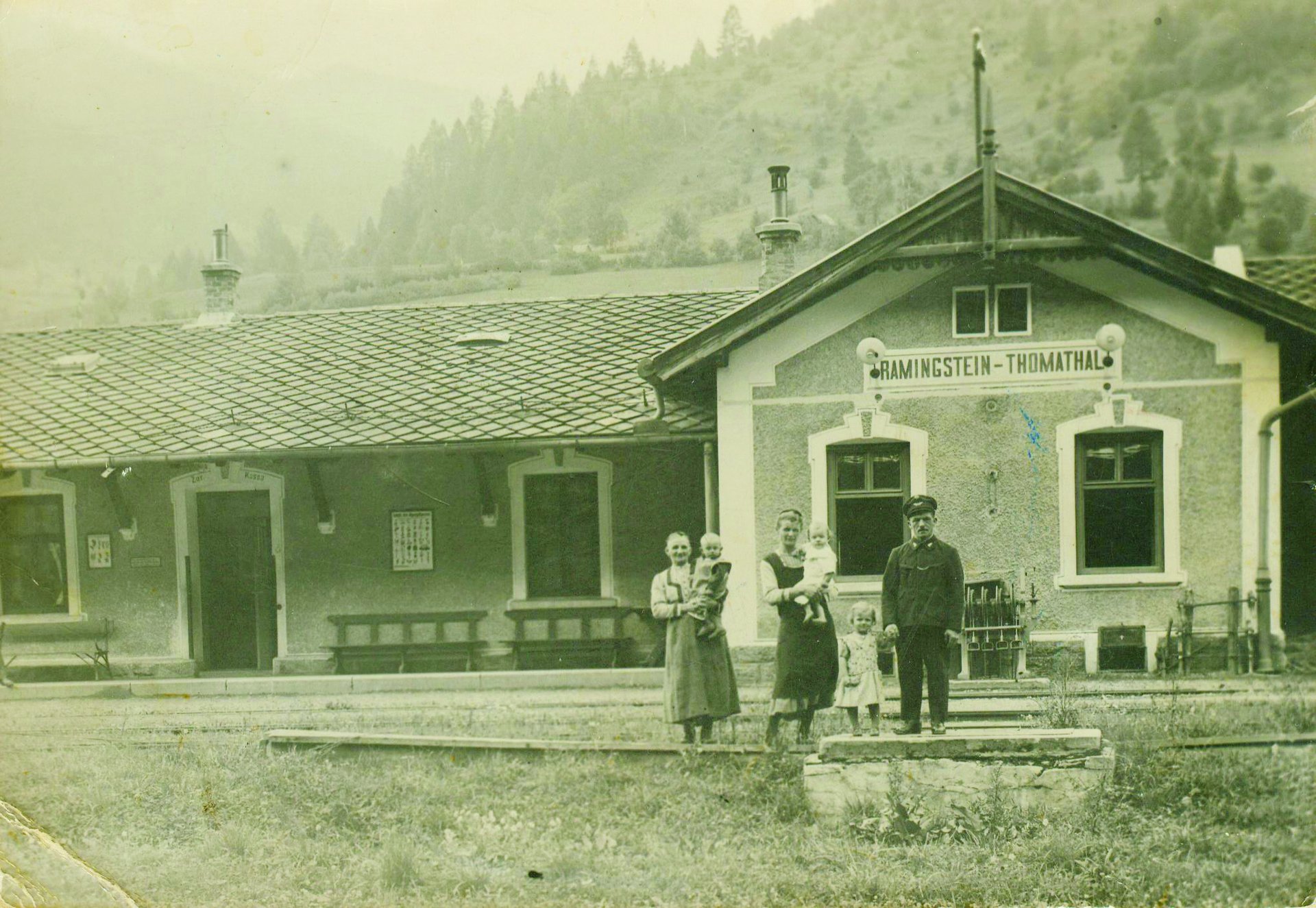
The Lungau was also one of the most important mining areas in Salzburg. Gold and silver were already being mined in Murtal valley in 1287. From the 14th century on, Rotgülden (in Murtal) saw the mining of highly poisonous arsenic, important back then in the production of medications. The area around Ramingstein was associated with lucrative gold- and silver-mining ventures.
When its mining history came to an end in the year 1880, the region’s isolation led to the Lungau becoming the poorest region in Salzburg. It was not until construction of the Tauern Autobahn (1974-1976) and the flourishing tourism which accompanied it, that the Lungau finally regained its economic importance.
Nowadays, the region is a popular vacation destination – both in summer and in winter!